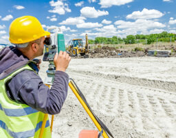
Our topographic surveying and mapping company delivers state-of-the-art, innovative services in the areas of land survey and aerial mapping by photogrammetry, implementing the most recent technologies such as lidar, mobile mapping, bathymetry, drones, 3D city models and BIM.
Over the years, thanks to our multiple skills, we have provided support and advice to a wide range of clients including international clients for large scale projects, individuals and promoters, engineering firms, architects, industrial and scientific sites, among others.

